


 Connect
 Call
Call Support
 sign in
 IKE Value
  Meet our Team
 “We had tremendous cost savings by using Spike and using employees rather than an outside vendor.”
Jeff VaughnZoning Inspection Supervisor
City of Winston-Salem, North Carolina
To our IKE Customers and Community, Like all businesses, we are continuing to monitor and respond to COVID-19. Our focus at IKE is on the health and well-being of our people, their families, andRead More
If you have ever had a great day fielding poles you have experienced the mental bliss that comes from a successful day in the field. This joy, while not often acknowledged, is what truly drivesRead More


Your time is important to us. We will be following up with you soon.
Until then, here are some resources you might find useful:
Sincerely,
Team IKE
Telephone, Email, Morse Code, or Smoke Signal
 303-222-3218
  [email protected]
1-720-381-1634
[email protected]

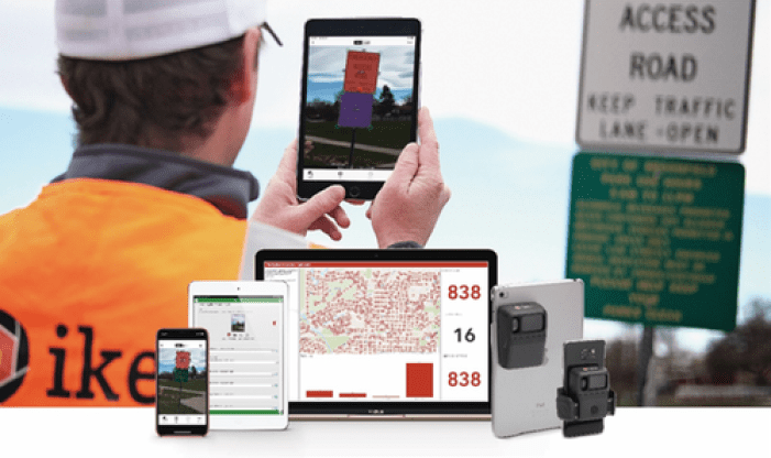
We know that data collection projects can be daunting, especially with few resources and qualified teams. Spike is an affordable and easy-to-use smart laser measurement solution. It is seamlessly integrated with Esri’s ArcGIS® Survey123 and ArcGIS® Field Maps apps that you can use for many geospatial field applications. This solution is designed for novice to intermediate users, allowing you to train anybody to go into the field to capture GPS locations and measurements of objects.
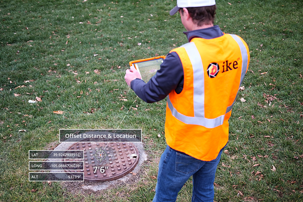
When you use a tape measure, you need to stand at the object and extend it across the distance. With a laser measurement tool, you measure distances with a beam of light. Spike takes this concept a step further by pairing the tool with photos from your smart device. Spike can estimate an accurate reading of the objects you measure using your camera, GPS, and compass of your mobile device. Photo measurements by Spike are ± 1 percent accurate.
Some of the most common ways people in the geospatial industry use Spike are:


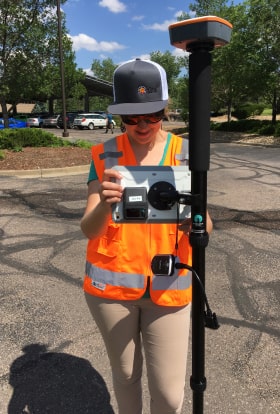
Spike captures and stores the mobile device’s location and the target object’s location. The distance is offset along with a georeferenced image. Augment the accuracy of your location data by pairing Spike with leading third-party GNSS receivers. GNSS receivers tested and known to work with Spike are the Trimble R1, Bad Elf, Eos Arrow and Juniper Geode.
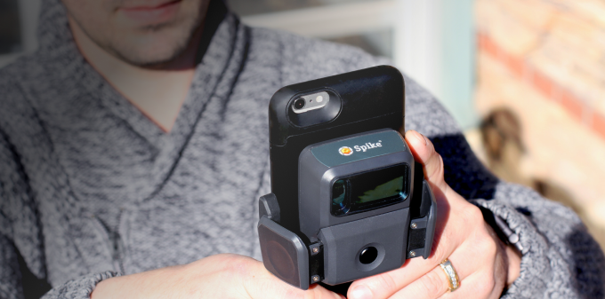
Spike attaches to any Android or Apple smartphone or tablet. We also sell a version specifically for devices with OtterBox® uniVERSE cases. Physically connect Spike to your device, then pair it via Bluetooth. Ensure that the mobile device you connect to the battery is charged and you can start measuring right away. Upload any photo measurements you take immediately to the Spike Cloud for safekeeping.
You can export measurements taken with your Spike as JPEG, PDF, KMZ and XML files. These files work with all of the software platforms you need, including ArcGIS, Adobe Illustrator and AutoCAD.
Spike can help government organizations, non-profits, private companies and more with geospatial measurements. Some of the most beneficial features of Spike include:
Using Spike, you’ll receive all of these benefits and more, including the fact that most people earn ROI within their first three to five uses.
Make accurate measurements with ease using Spike. Our product connects to your Apple or Android phones and tablets for simple transportation. Once you have Spike set up, snap a photo and start measuring anything from height and width to area. You can measure for multiple jobs and industries, from state DOT employees to cartographers, surveyors and urban planners.
We offer a 30-day money-back guarantee if you try our product and find it isn’t the right fit for your business. Our world-class customer support team works diligently to assist with Spike and the Spike Cloud. We also offer a one-year warranty for your product.
Try our award-winning measurement tool today. For more information about Spike, contact us online, by phone at 1-844-4-IKEGPS, or by browsing our online store!
30-day money back guarantee
No app subscription
No maintenance fees
Quick ROI

A Recap of all the Spike News Announced During the Esri UC The Spike team exhibited at the 2019 Esri User Conference in … Continue reading "Geospatial"
Carbon County, Utah’s use of Spike combined with Collector for ArcGIS for signage inventory was detailed in Esri’s quarterly publication of ArcNews. In the … Continue reading "Geospatial"
Zoning Inspection Supervisor
City of Winston-Salem, North Carolina


Copyright © 2026 | ikeGPS.COM - All Rights Reserved.
